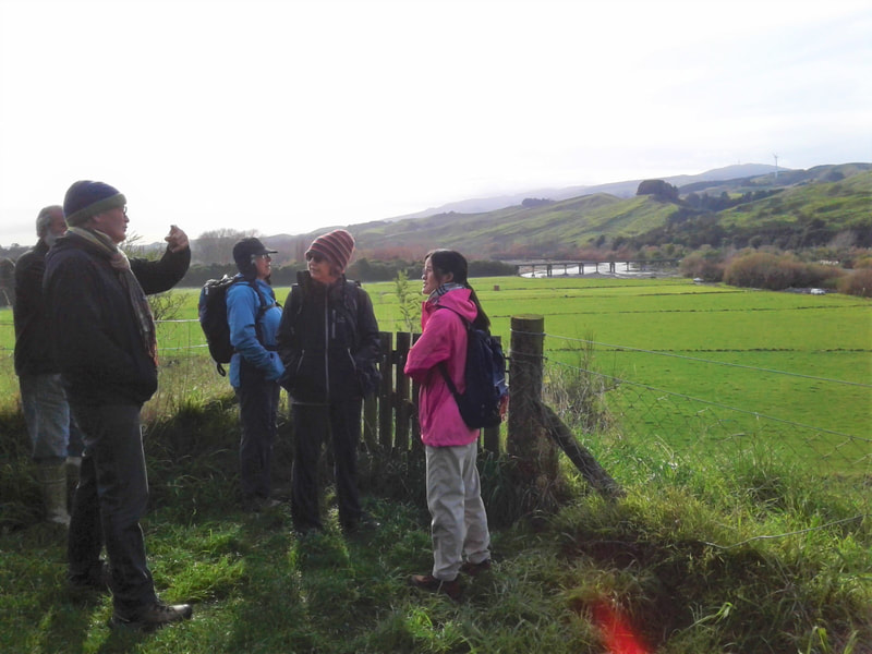
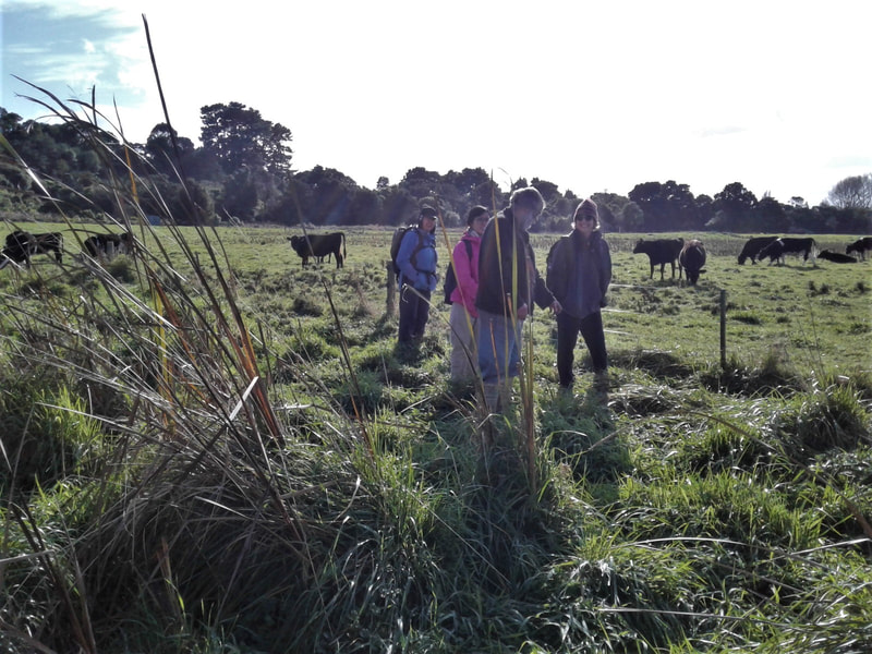
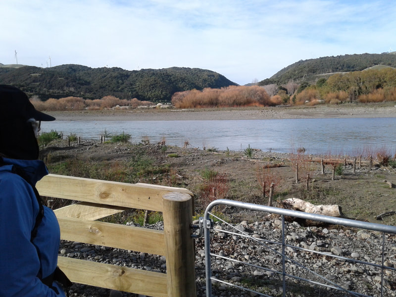
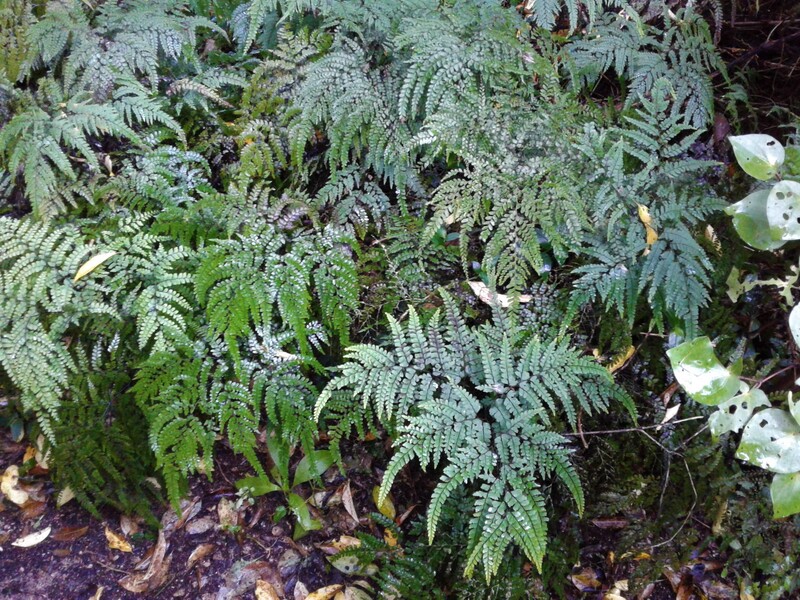
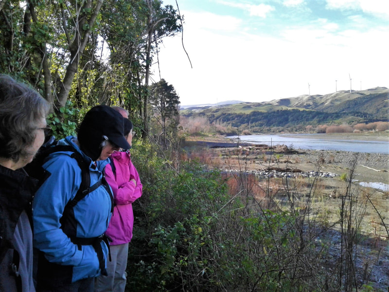
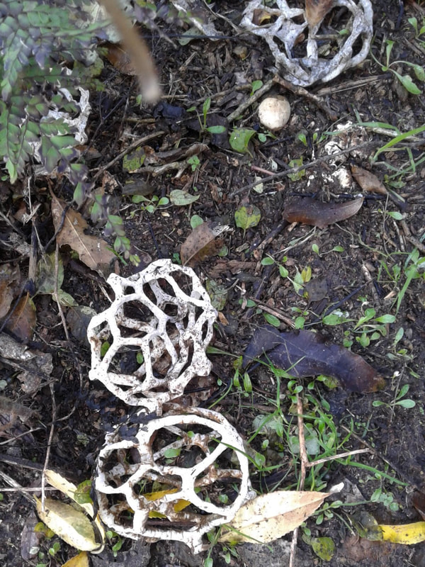
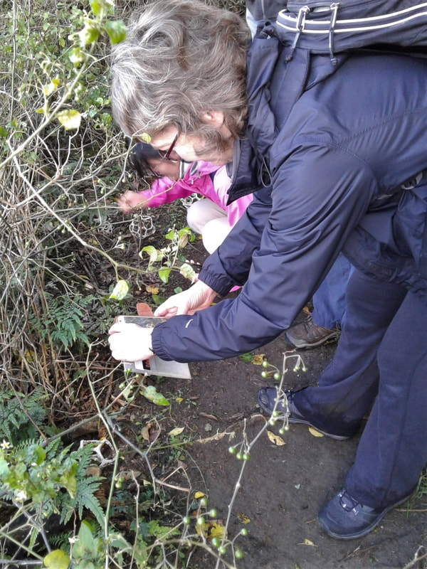
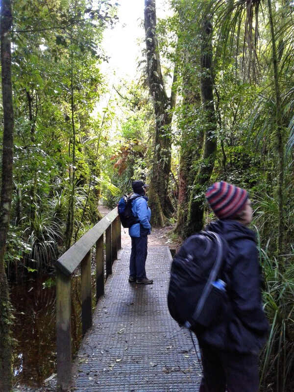
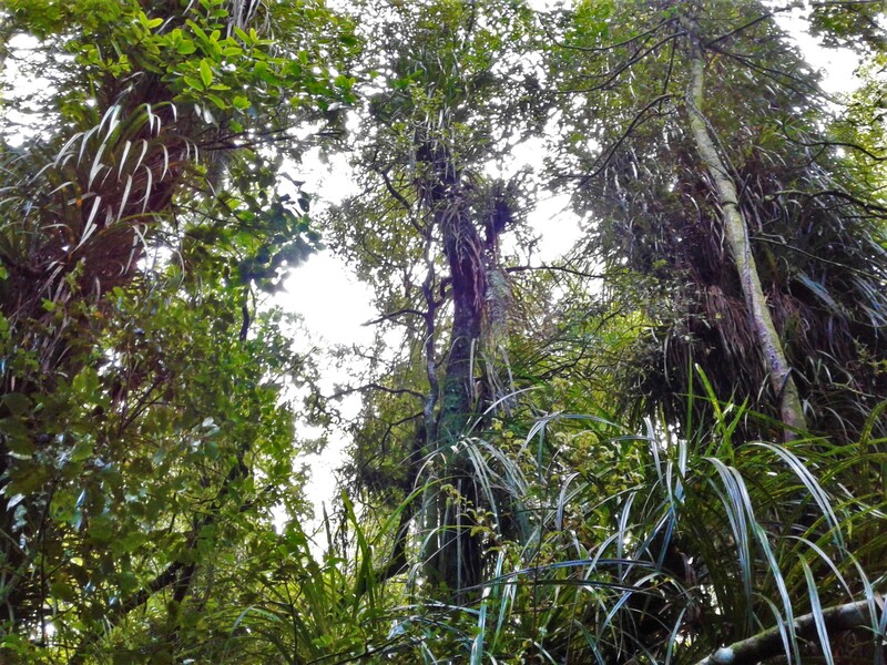
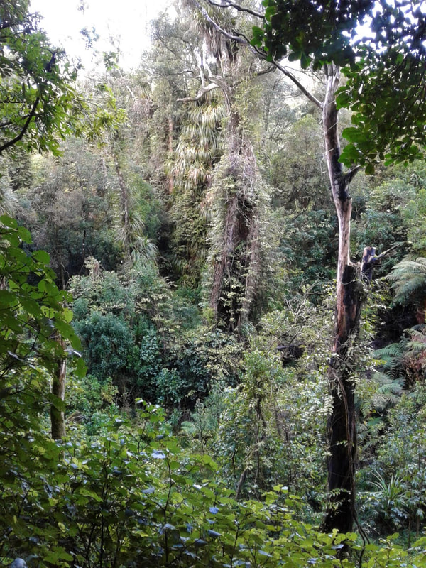
From the plateau high above the river, Tom showed us where the new highway is going to be built from next year and explained the recent work done to the rivers for banks protection. He also shared interesting facts about river works and how the rivers react to it. We learnt that the Ashhurst Domain area is a former pā site, which is of significance to local iwi known as Otangaki. Their ancestors used the Gorge as a road and stopped in this area for refilling their food, which explains the big abundance of karaka trees planted for food supply. The river island below us was cultivated to grow food too. Now we could see farmed flood plains and wetlands below us in the river valley. After saying goodbye to Tom who was off to his next meeting, we made our way down to the wetlands. A few ducks and some bigger water birds took off as we came closer, and when we found our track occupied by a group of cattle we decided to turn back and hit the bush tracks. Along the way we learnt about different weed species in the area and the control work that has been done over the years. After passing through a stand of big totara, a side track took us out to the cliff of the river valley, where a recent flood had taken out a chunk of bush. Along the path was a line of fascinating basket fungi (Ileodictyon cibarium), and back on the main track we admired the dense vegetation with the giant maidenhair fern, swamp maire and kiekie. There were many birds to hear and to see flying between the big trees, while we slowly emerged from the swamp back up to the plateau to finish our circuit. (Text by Jorinna) |

 RSS Feed